May 29, 2015
BNSF River Sub
St. Louis–Memphis
by Dave Ingles
| This ex-Frisco line hugs the west bank of the Mississippi River for almost 100 miles from roughly Crystal through Cape Girardeau, and of course is subject to flooding. High Iron’s St. Louis–Pensacola, Fla., PV trip in May 2010, in fact, had to detour last-minute on UP’s line on the Illinois side to the junction at Chaffee, Mo., which created a “gap” for many of this 2015 trip’s riders (I and a few others on board had ridden an excursion from St. Louis beyond Chaffee to Sikeston, Mo., in the late 1980s).
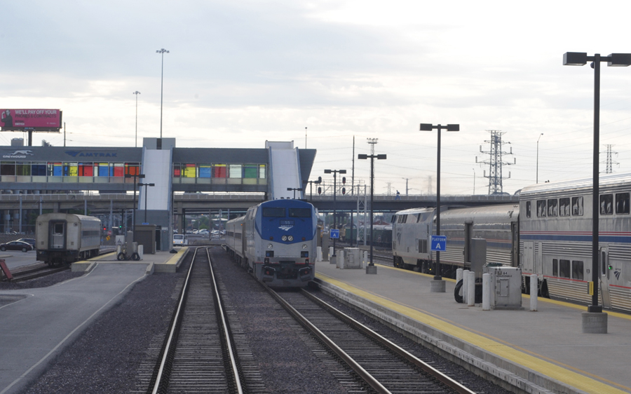
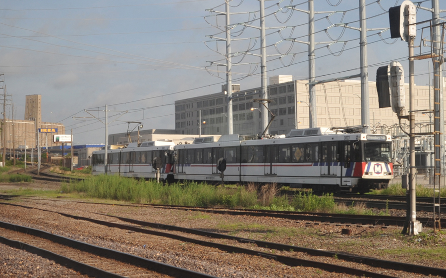
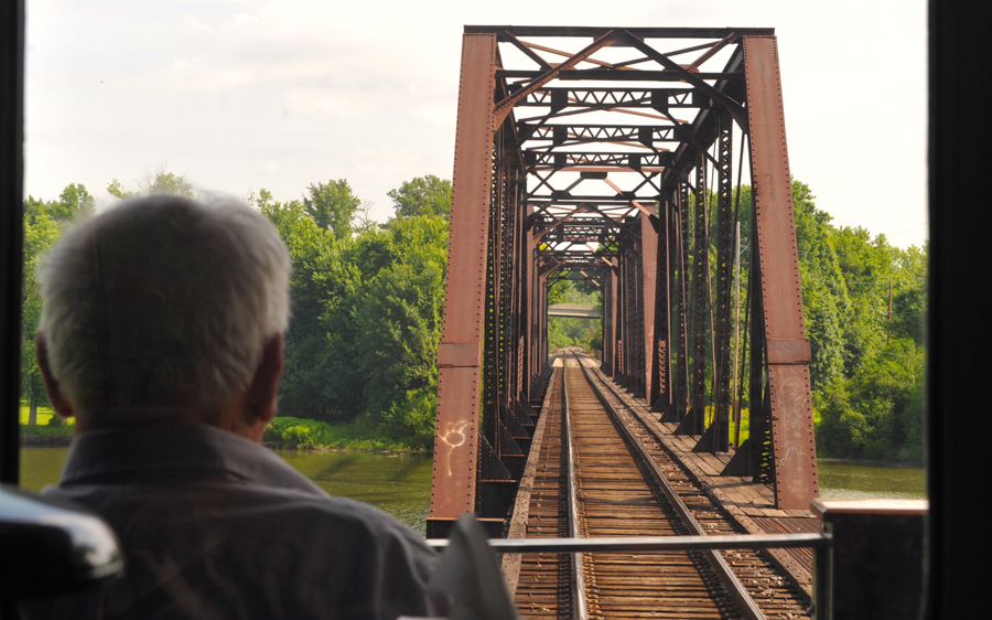
Our train backed up alongside the Amtrak St. Louis station platform to board morning riders, and departed at 8 a.m. sharp. The 2015 page photo with the link to this file, shot from the rear lounge chair in the “Caritas,” shows car owner Clark Johnson enjoying the view from the rear platform as we pass BNSF 8264 South at South Crystal at 1055 a.m., shortly after “joining the river.” Below is the view of Amtrak’s trackage at St. Louis’ Gateway Station, which also serves buses and light-rail, as we pulled out. At left is a spare coach; in the middle is the morning “River Runner” for Kansas City; and at right is the northbound “Texas Eagle.” We soon passed a light-rail train as we neared Grand Avenue to enter the south end of BNSF’s Hannibal Sub to go out to the ex-Frisco Lindenwood Yard, BNSF’s main St. Louis facility. |
 |
 |
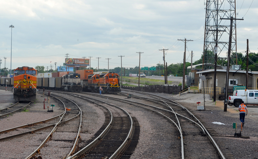
| The Lindenwood yard office, at the west end, is adjacent to I-44 at the right. From left to right are a trio of GE road units, an SD70MAC DPU on the rear of an empty coal train, and a two-unit SD40-2 yard engine, remotely controlled, on a cut of double-stack cars. Today an intermodal area occupies the old roundhouse site off to the left. After sitting at the yard’s east end for 30 minutes to allow that coal train to arrive off the River Sub, we headed out and made a left turn at 9:17 to go south. |
 |
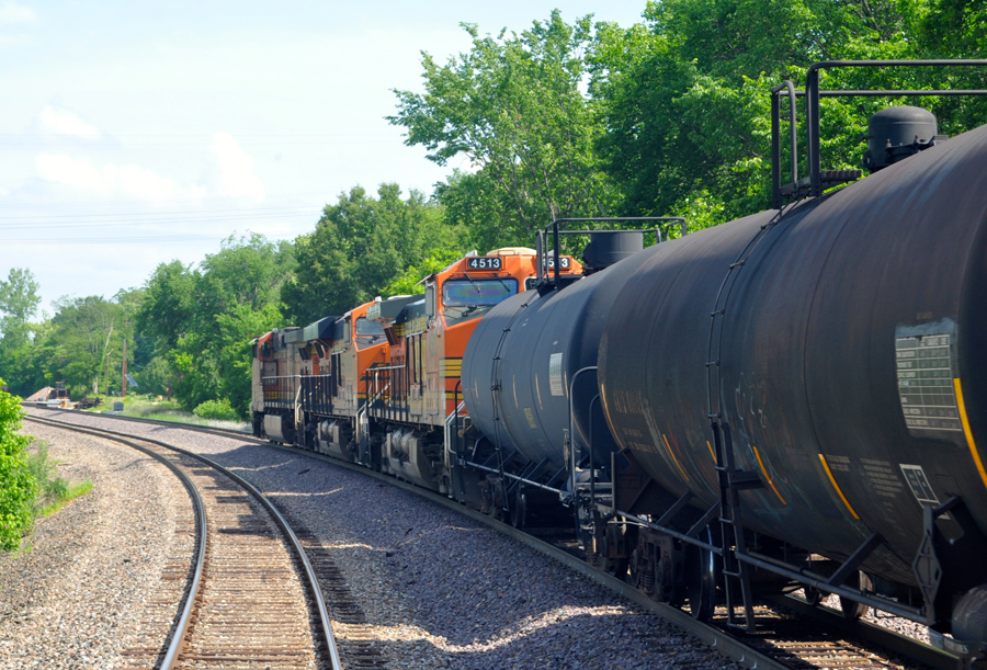
| We crossed the Meramec River at 9:45 and took to Byers siding 5 minutes later for BNSF 4870 North, which passed at 10:15. |
 |
 |
 |
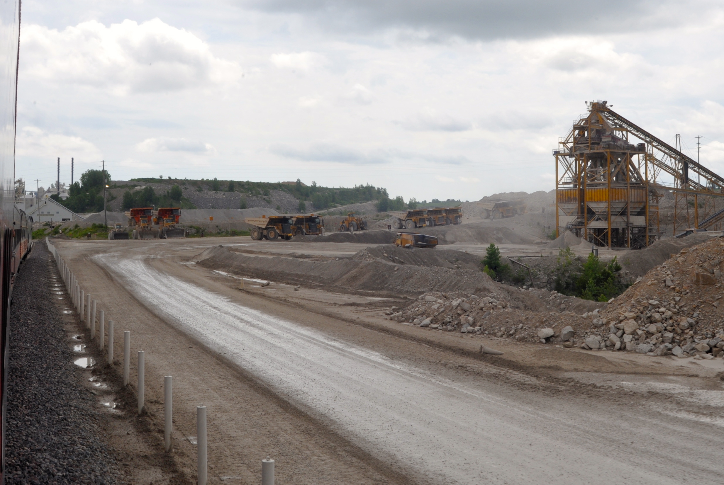
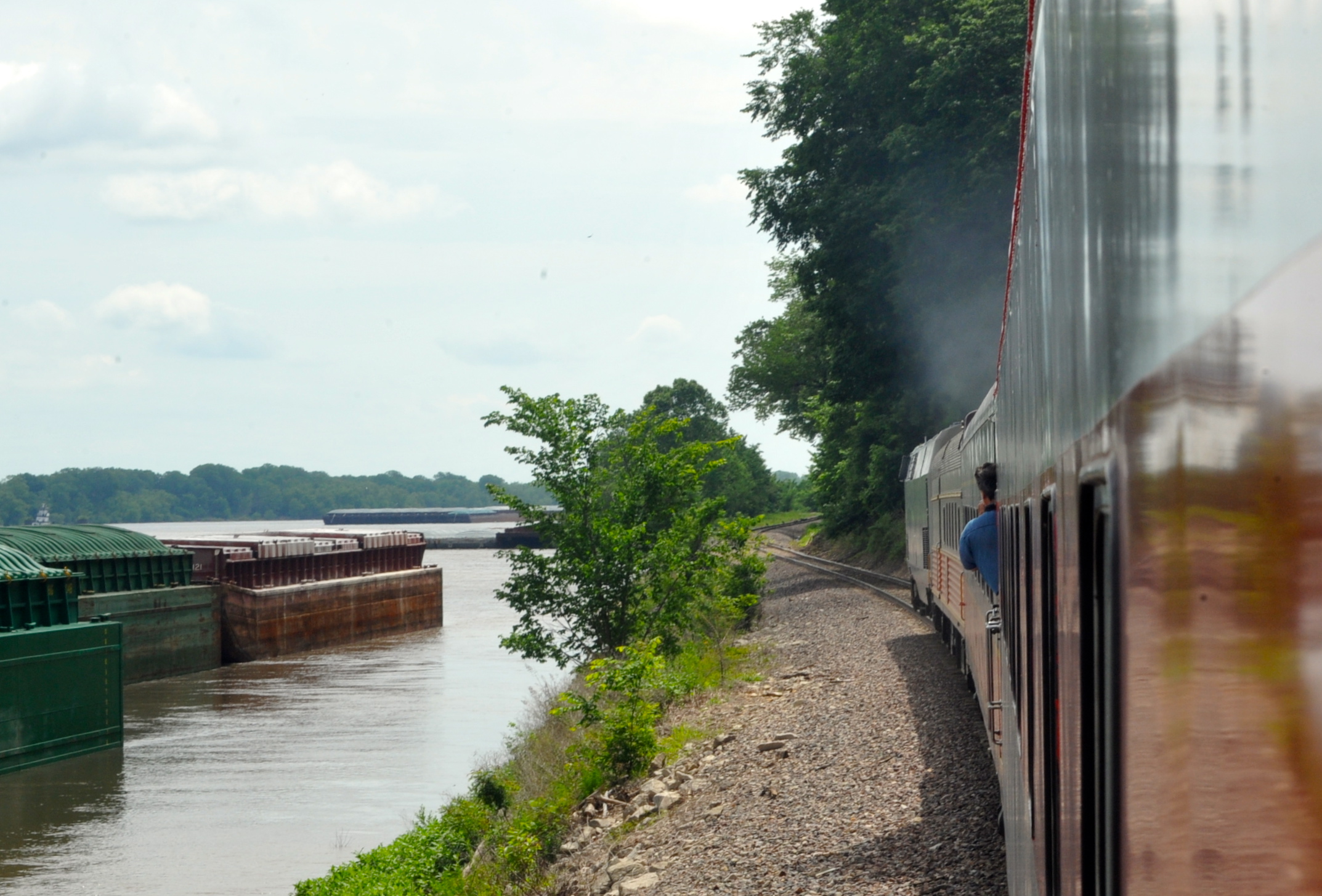
| The numerous riverside industries along here include aggregates and cement firms, some depending on rail as well as river transport. The photo from the vestibule shows “parked” tow barges near Brickleys at MP 52. |
 |
 |
 |
 |
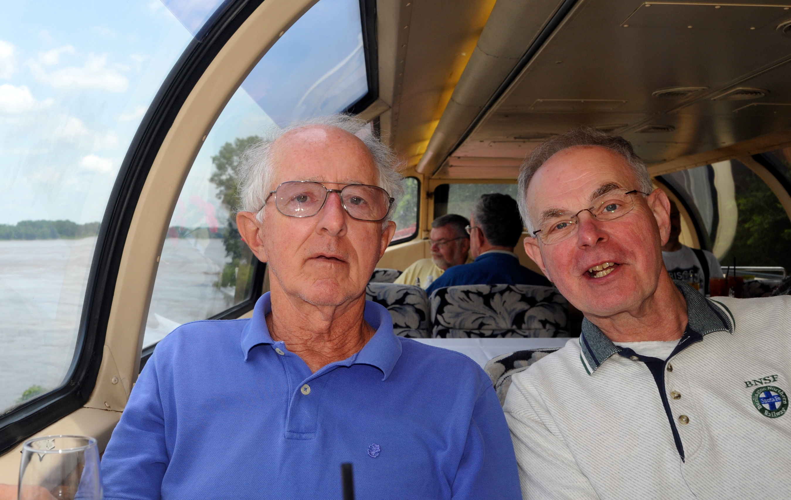
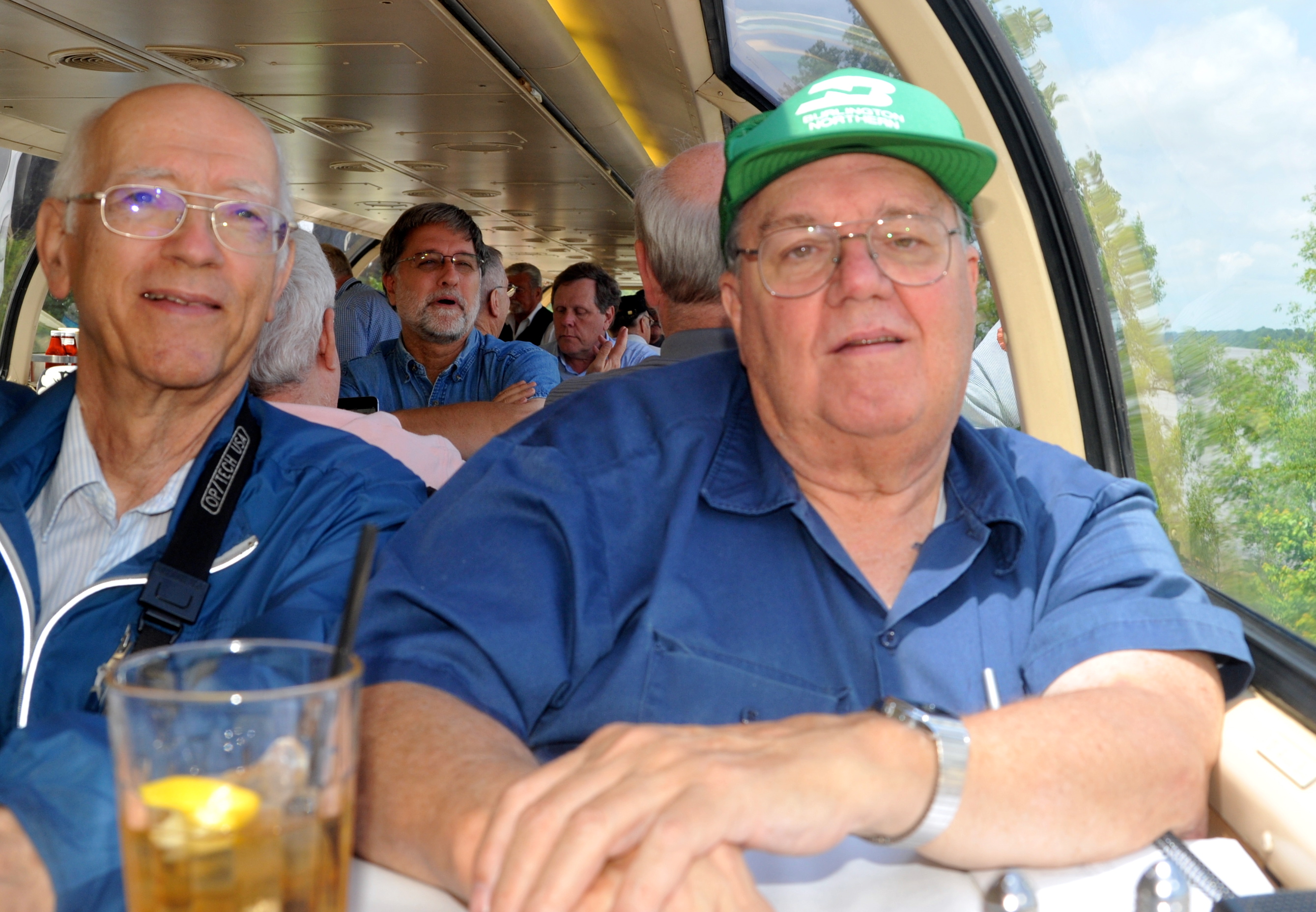
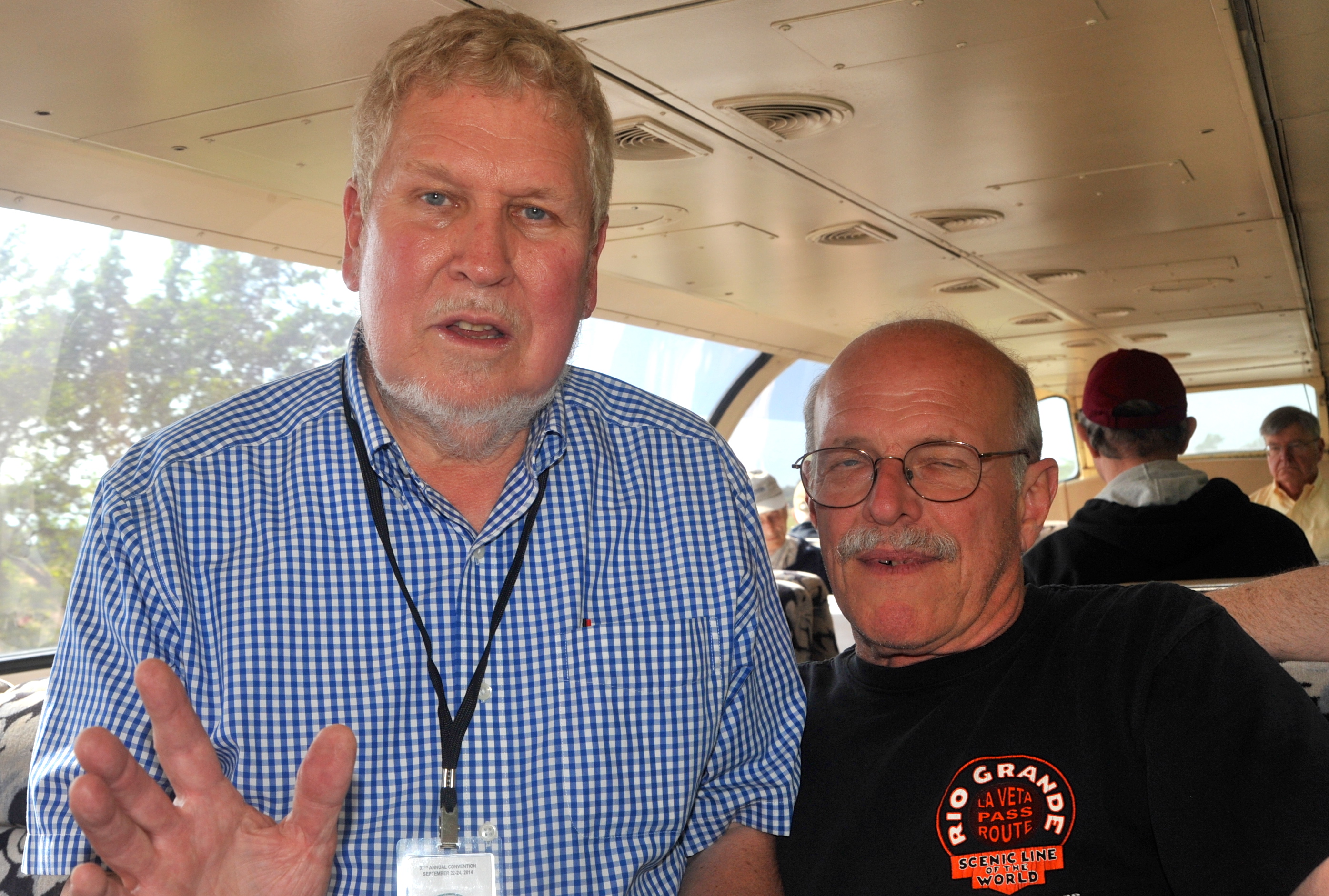
| In the dome, I snapped the photo of lunch companions Art Bliss of Phoenix, but retired from Boston (blue shirt), and Don Clayton of Kentucky (BNSF shirt), then one of them took the photo of me and Reg Mitchell of the Virginia D.C. suburbs. You’ll note I wore a suitable “Fallen Flag” cap, tho I don’t own a Frisco one, but I did properly remove it for lunch to be served. The pipeline river crossing is north of Ste. Genevieve. |
 |
 |
 |
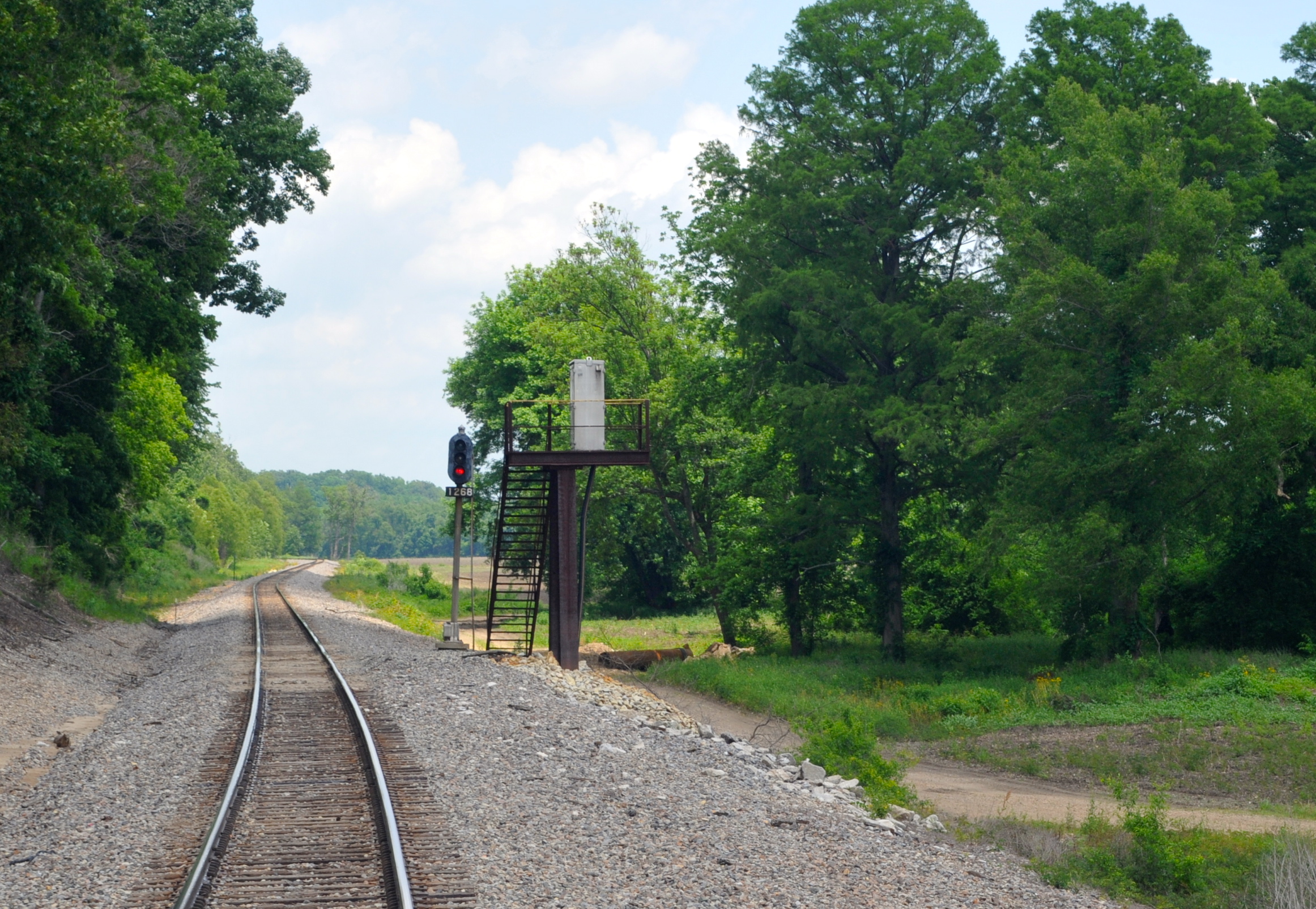
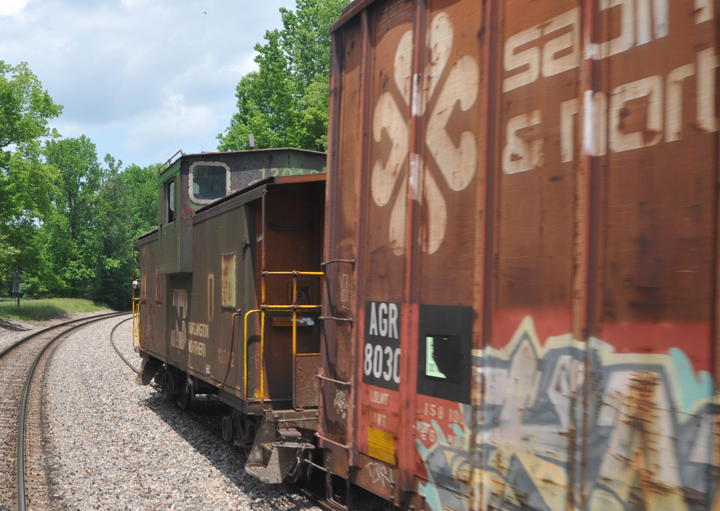
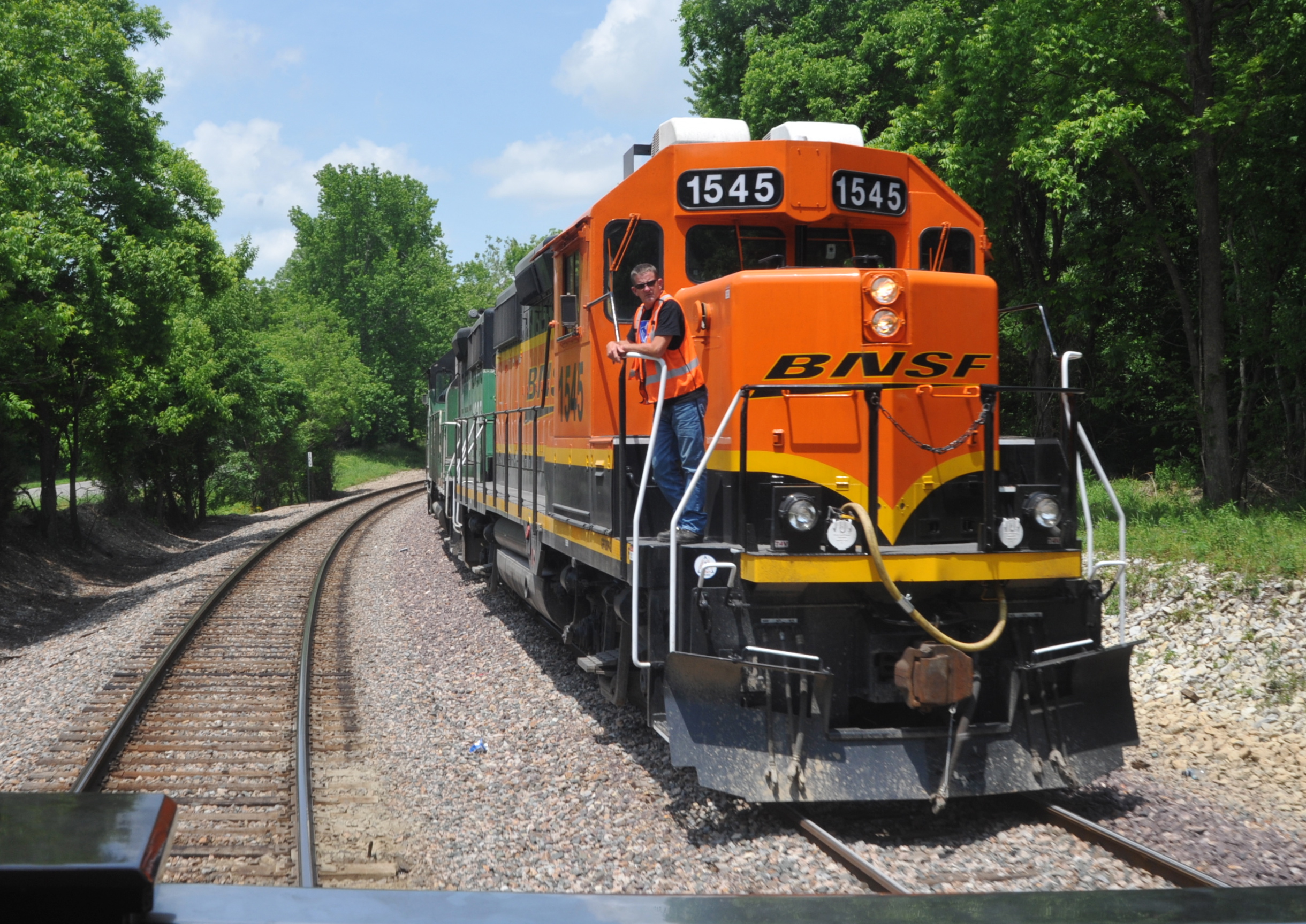
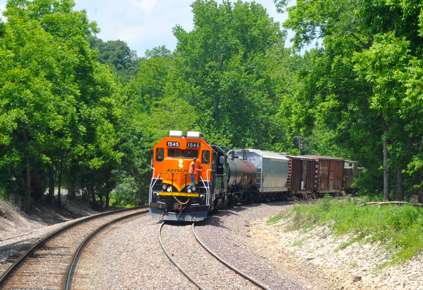
| After lunch and 60-some miles further downriver from Ste. Genevieve, I was back on Caritas’s rear platform, and shot some examples of how high the signal bungalows must be placed in this flood-prone area. We are around MP 126, north of Freeze siding, where we met southbound local 1545 South, whose short 5-car train had a Cascade green trailing GP plus green BN caboose 12042, which was one of perhaps a half dozen such cars we saw in service during this entire trip. |
 |
 |
 |
 |
 |
 |
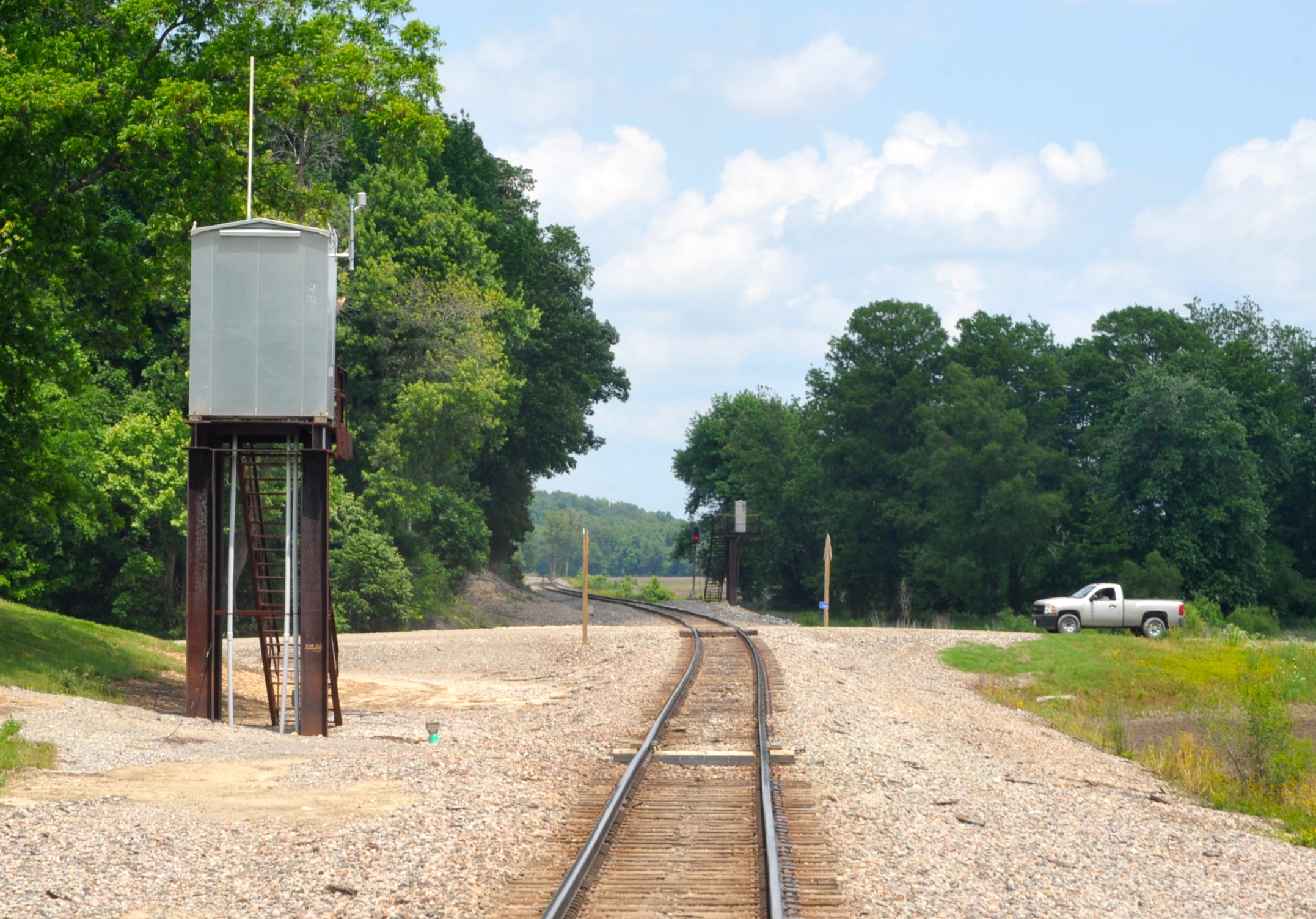
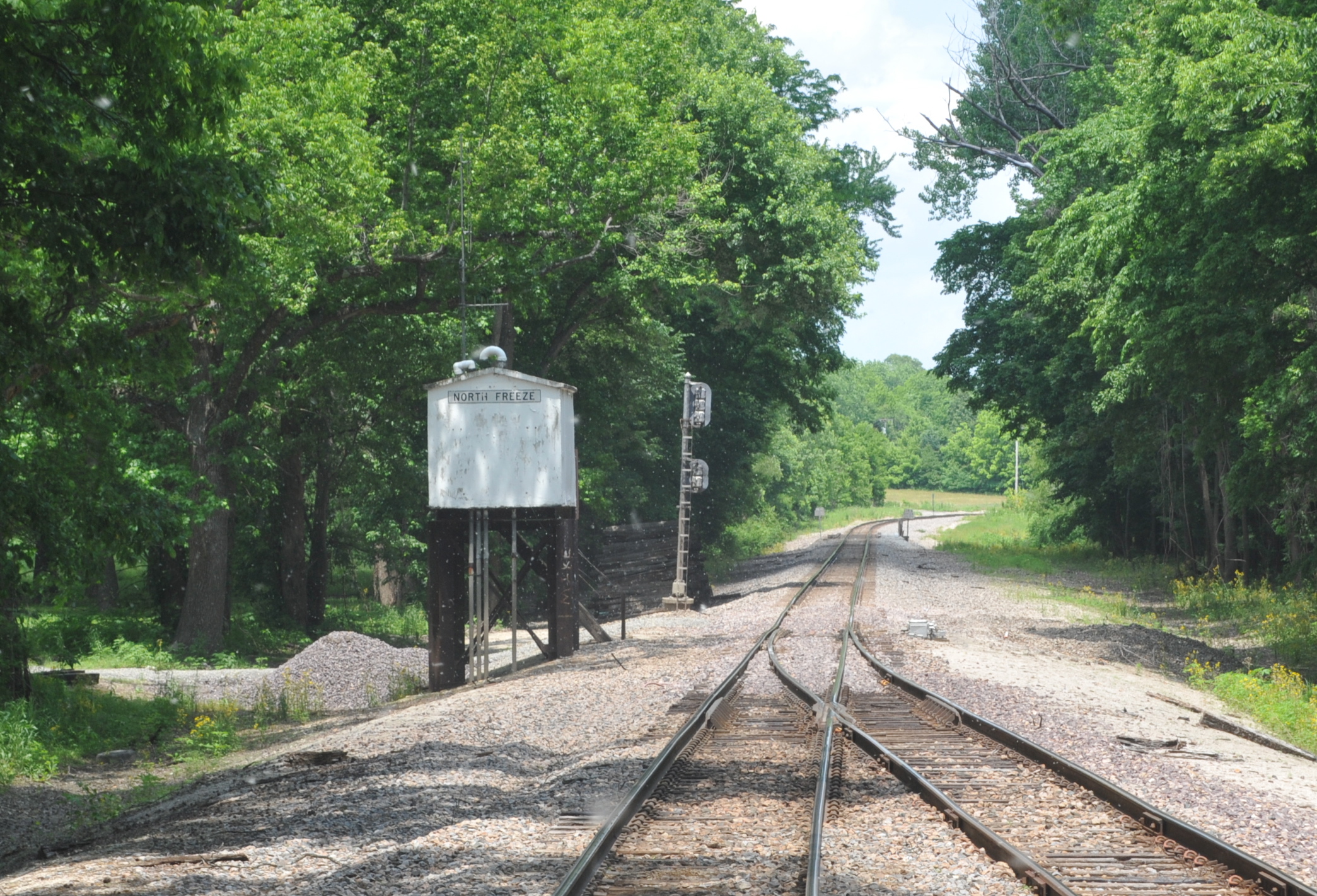
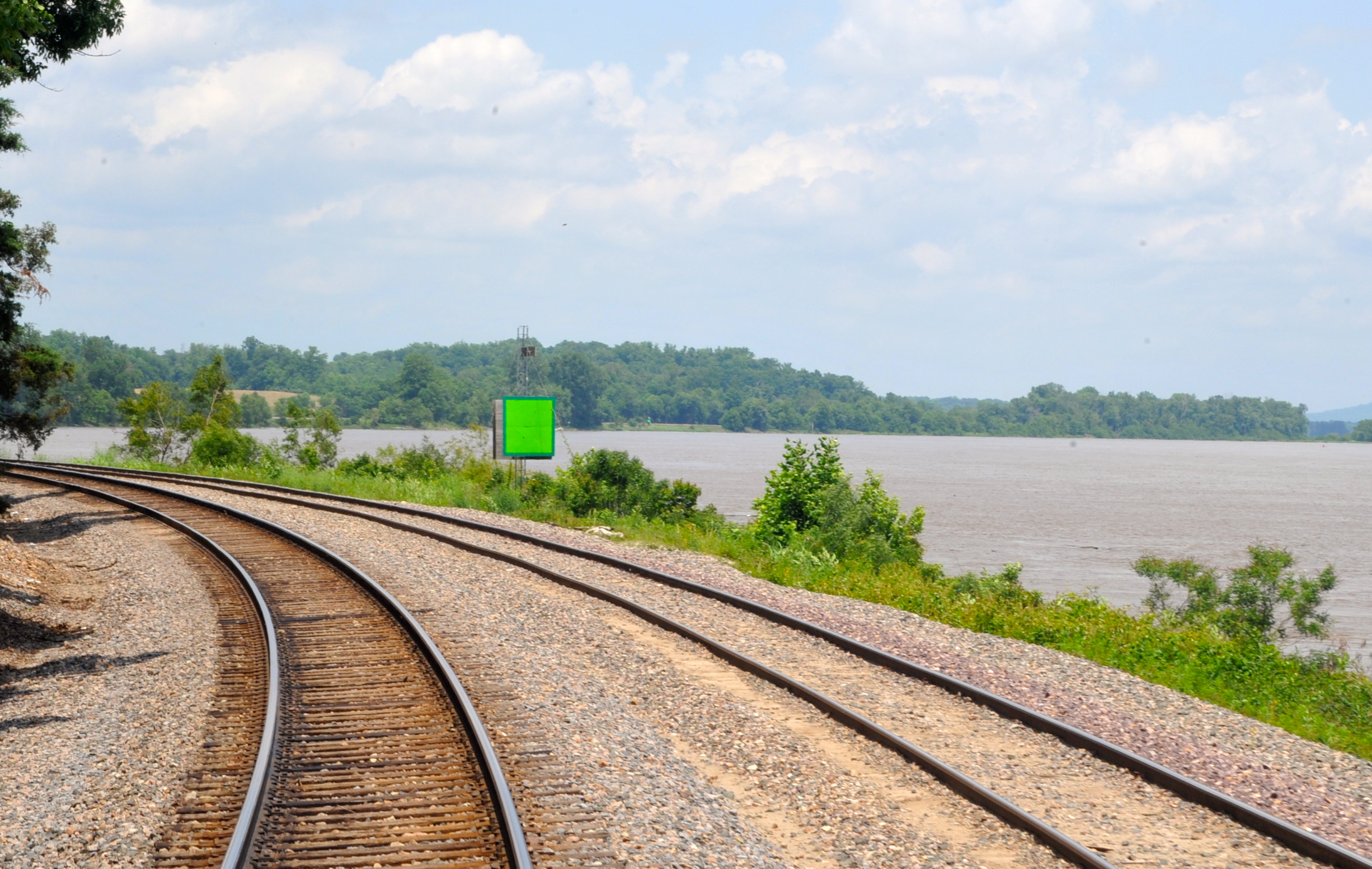
| Freeze siding comes out of the woods and hugs the riverbank; that big green marker is of course for riverboats, not trains. |
 |
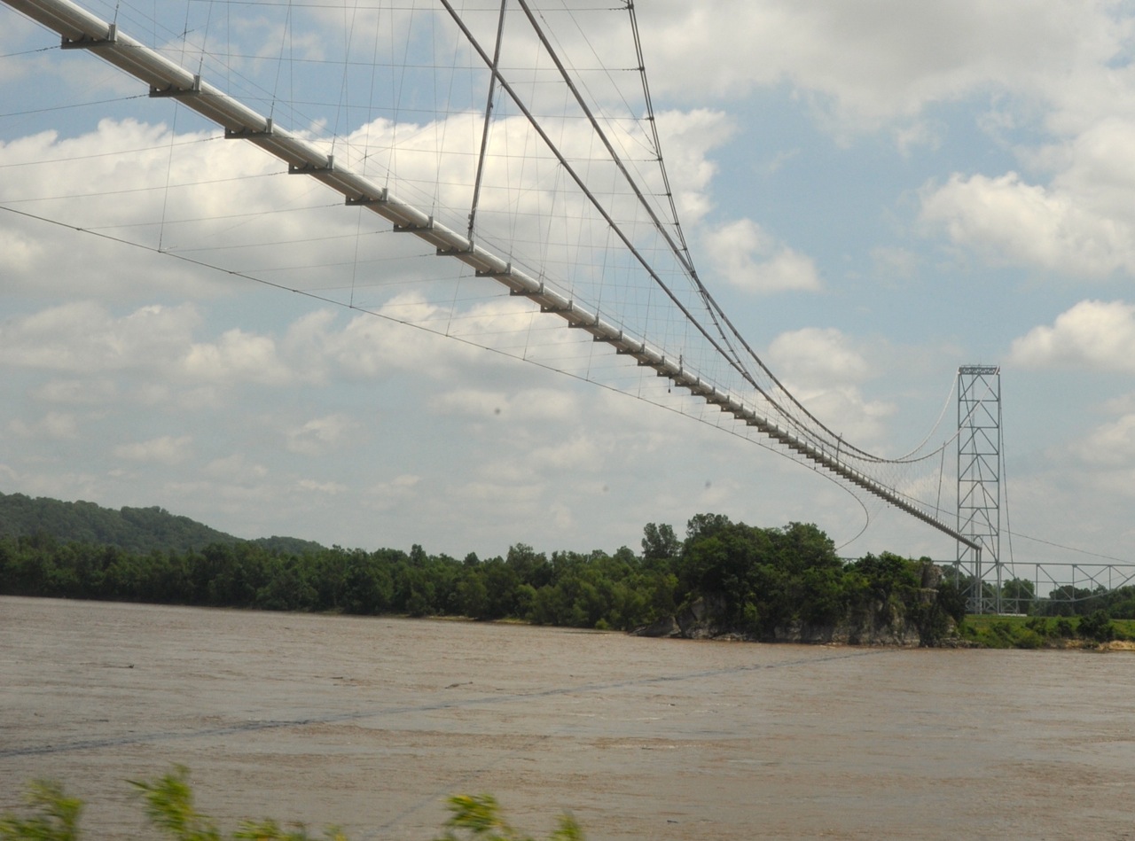
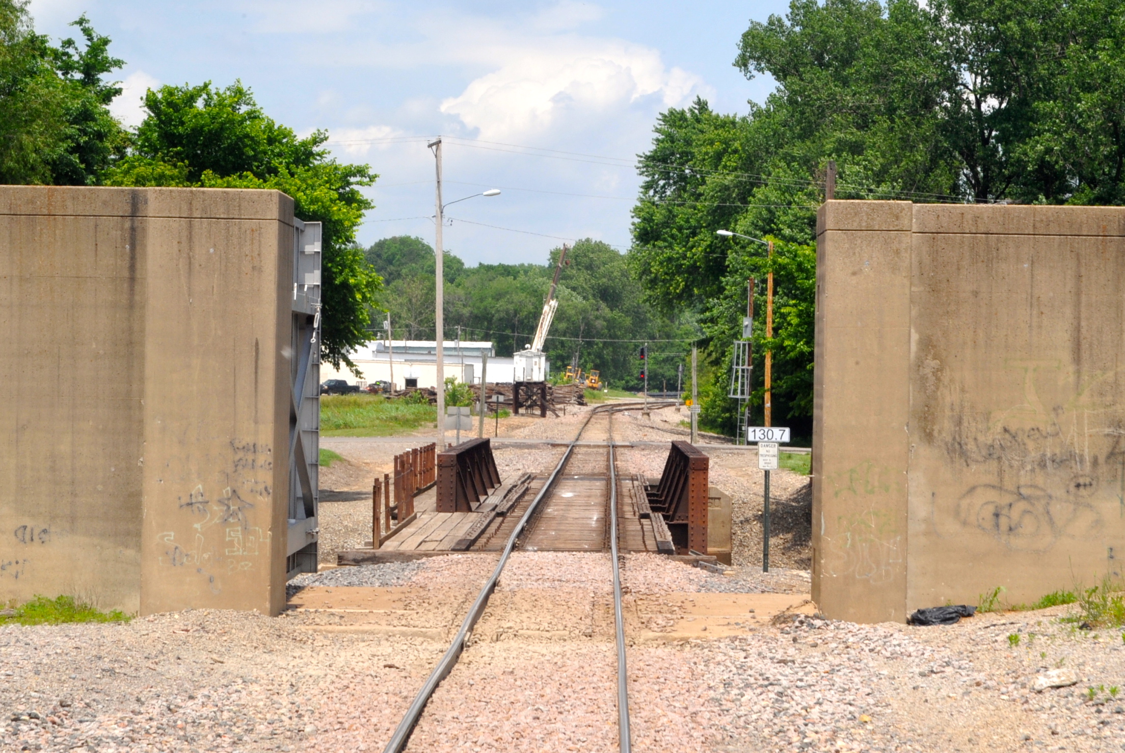
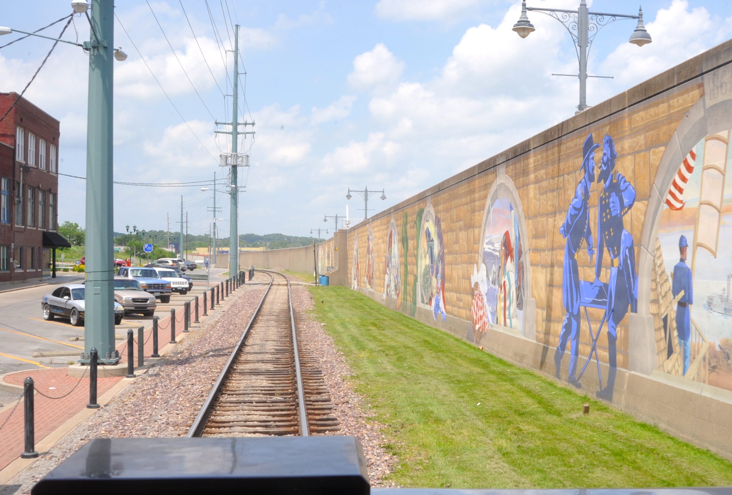
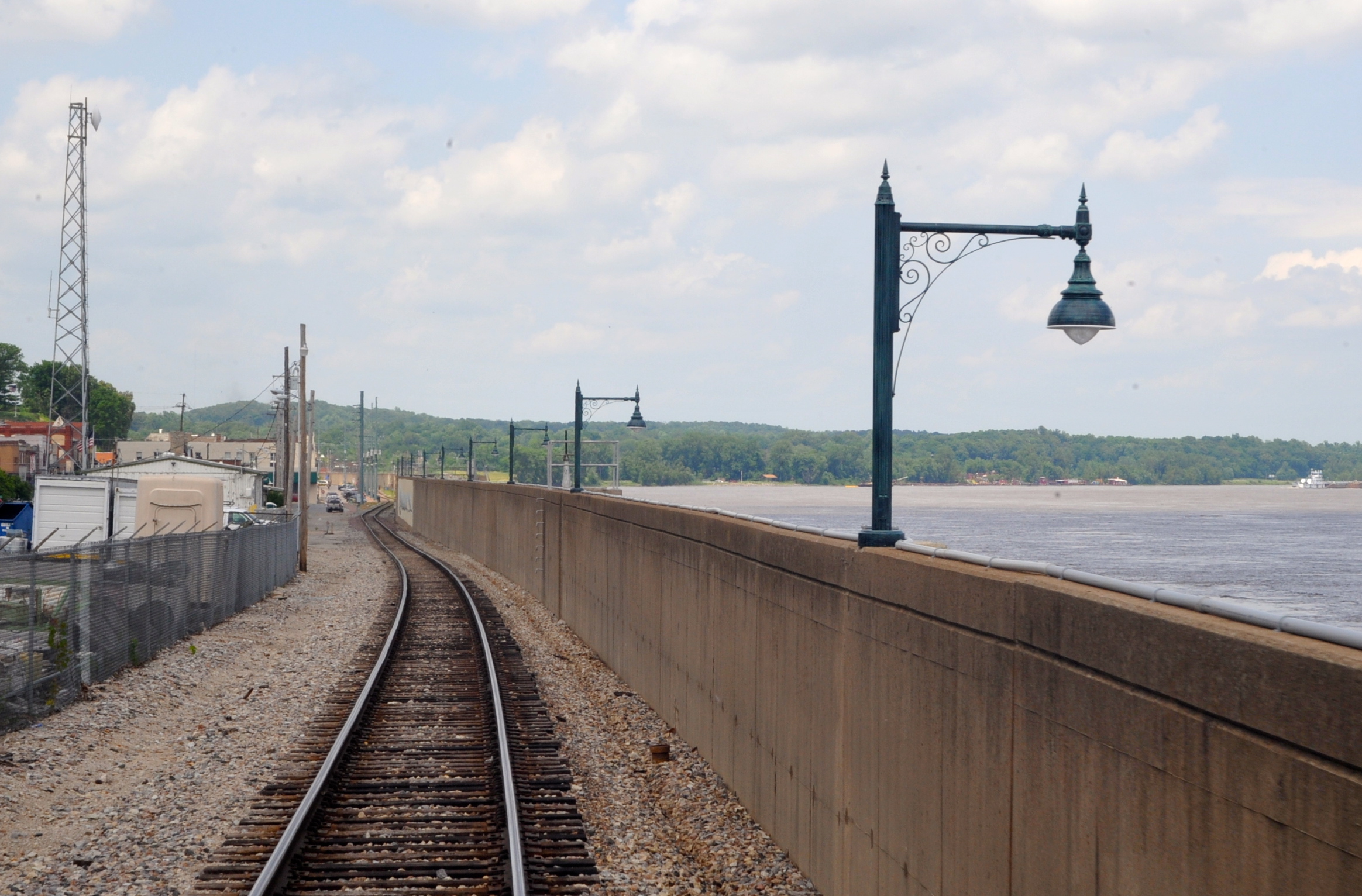
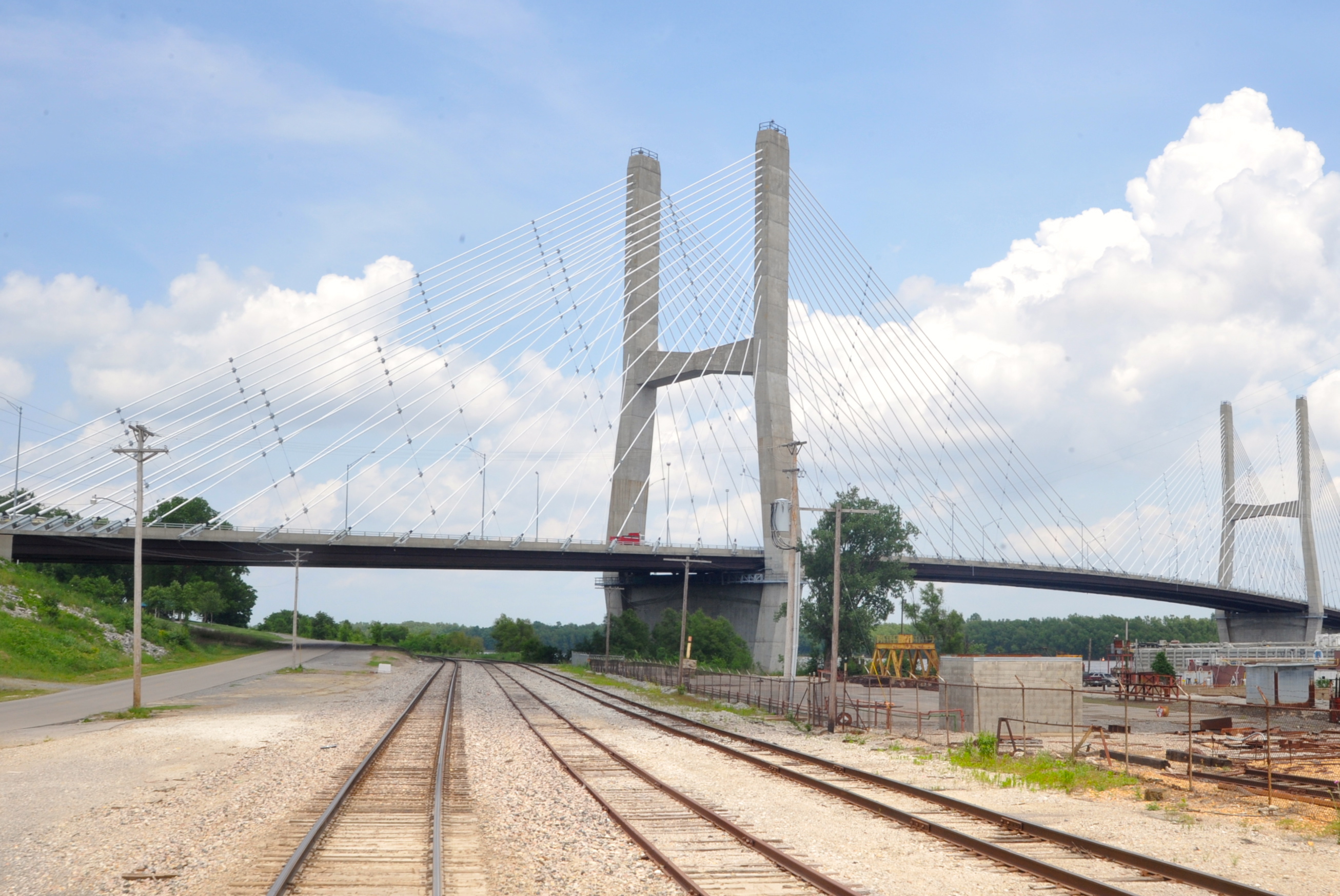
| Just south of the elevated South Freeze signal bungalow, we passed thru the north gate of the Cape Girardeau river wall, which hugs the riverbank and track thru the center of town. South of town is a modernistic highway bridge over to Illinois. |
 |
 |
 |
 |
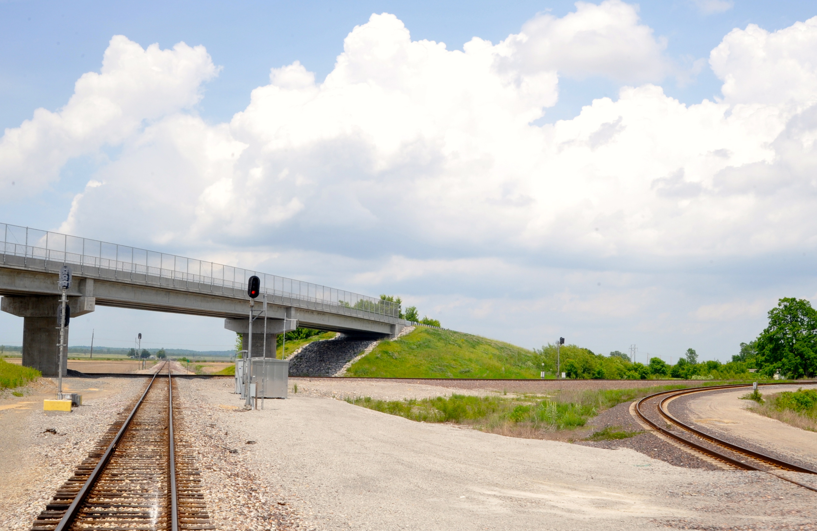
Twenty miles south of Cape Girardeau is the River Sub’s intersection with UP’s former MoPac and Cotton Belt main line out of St. Louis down the Illinois riverbank thru Chester and across the Thebes bridge over the Mississippi. At this junction, called Rockview, MP 141.7, is where our 2010 St. Louis–Paducah “Southern Explorer” reached its intended River Sub route after detouring. We had changed pilots while on the connection track, during which we riders were allowed off for a rare photo stop. URLs for the 2010 trips, and Part 1 that shows that particular photo, are as follows: http://condrenrails.com/JDI/index-2009-2010.html and http://condrenrails.com/JDI/Southern-Explorer/Part-1.html. In checking the timing of that trip, we reached Rockview around 10 a.m., or 4 hours earlier than this time, tho we might have left St. Louis an hour earlier. If you compare that photo with the first one below, you’ll note the highway bridge over the diamond is new. This is because a year or two back, a southbound UP freight plowed into a crossing BNSF freight at the diamond, taking down the highway bridge as things piled up. |
 |
 |
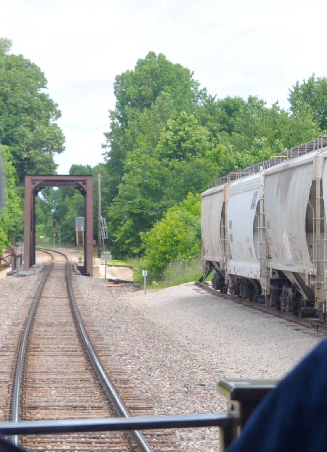
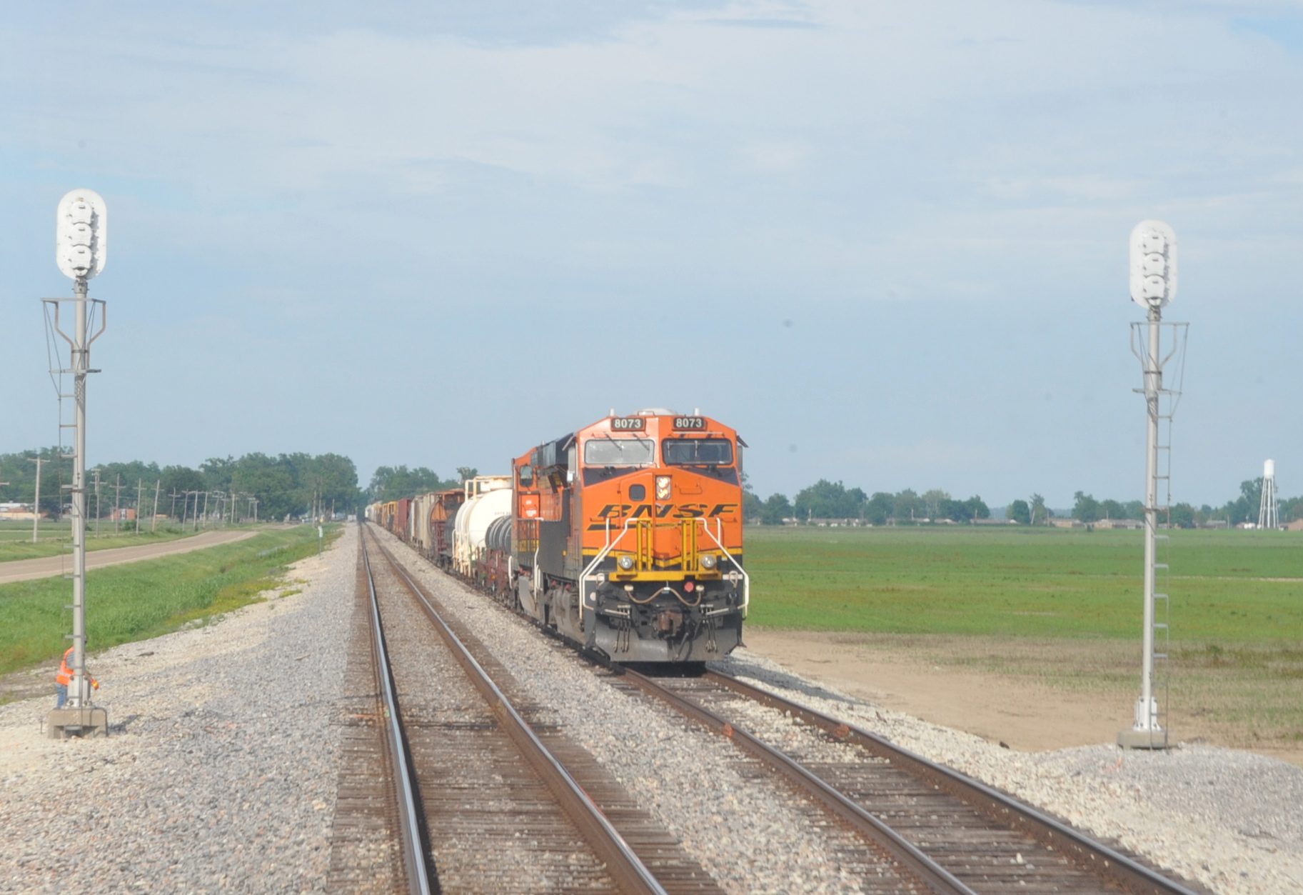
| A couple of miles south of Rockview, at Chaffee, we stopped to change crews, from 2:09 to 2:28 pm, but as we pulled out, no engines were in the yard, unlike 5 years ago. Now away from the river and on a flat, straight piece of railroad on a warming-up afternoon, my next photo was at 5 p.m. as we passed BNSF 8073 South at Wilson siding, 122 miles south of Chaffee and 33 miles into Arkansas. This was only the fifth train we’d seen since entering the River Sub, passing northbounds at Ste. Genevieve and Kewanee, Mo., that I didn’t photograph. |
 |
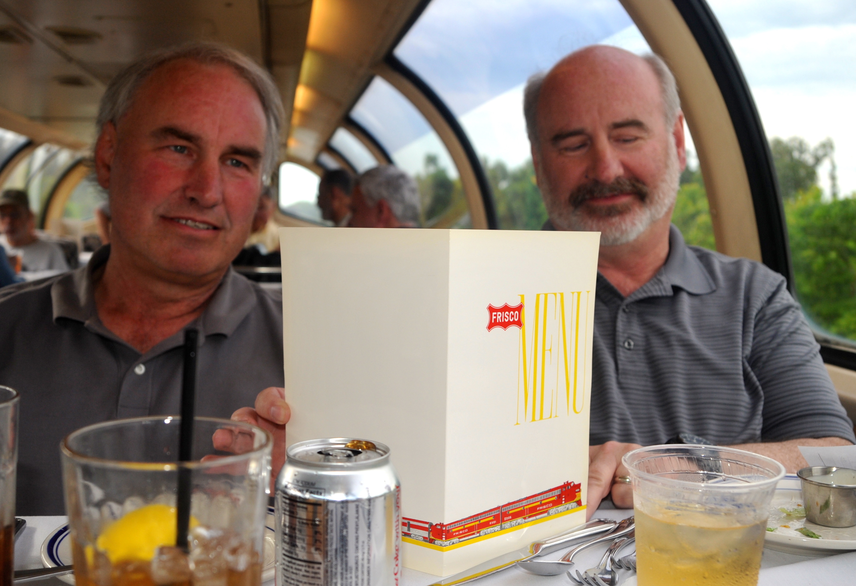
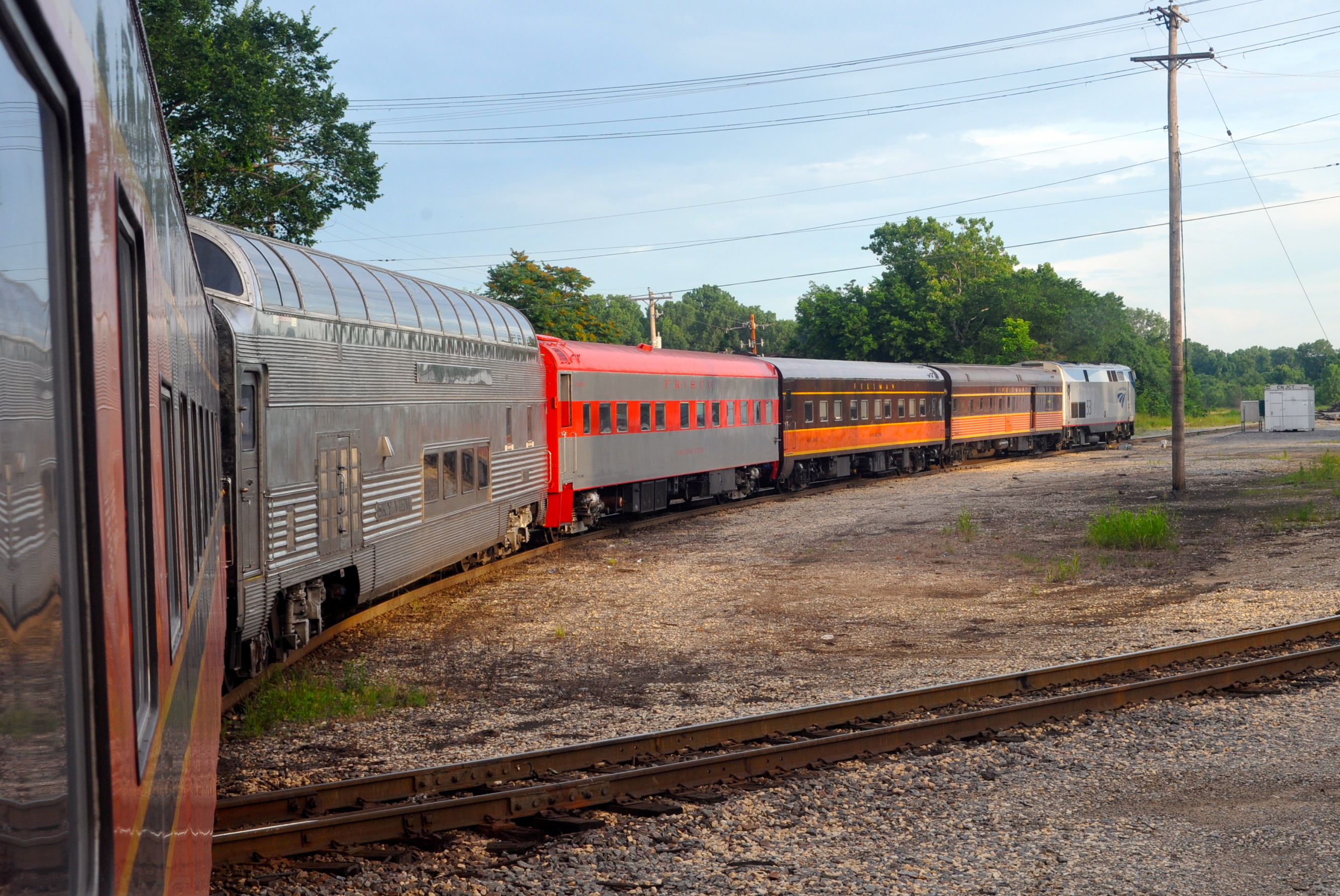
| It being cocktail hour with no more trains, it was time for some “people pictures.” One shows Bill Crawford of Boston (left), our beloved “lounge lizard” who often acts as bartender/server, this time in the dome, and St. Louisan Tony Marchiando, half-owner of the “Cimarron River.” The other photo, taken during dinner service, shows a special Frisco dinner menu Tony came up with for this meal. Brothers Phil (left) and Rick Moser of the Chicago area are my tablemates. |
 |
 |
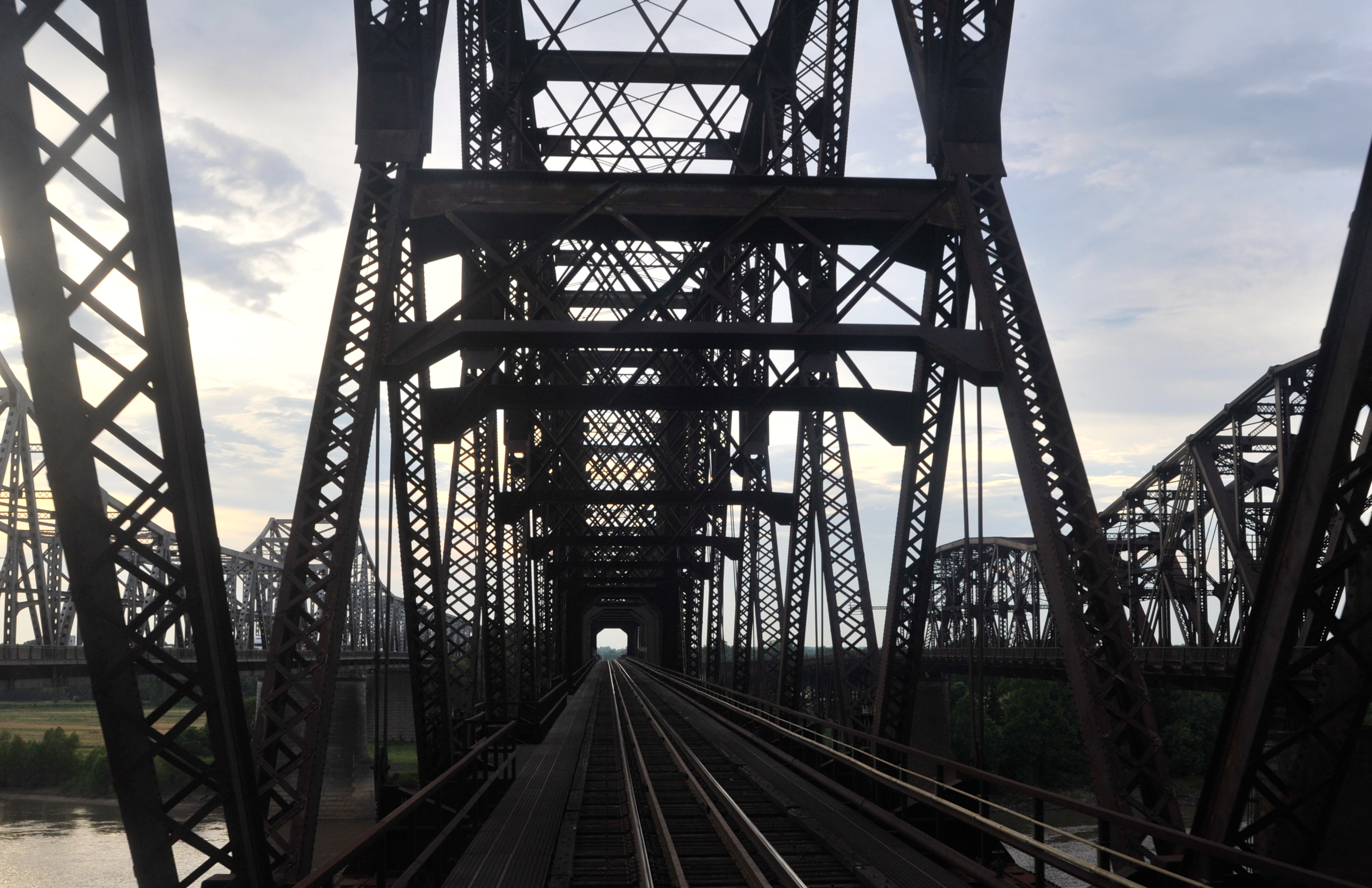
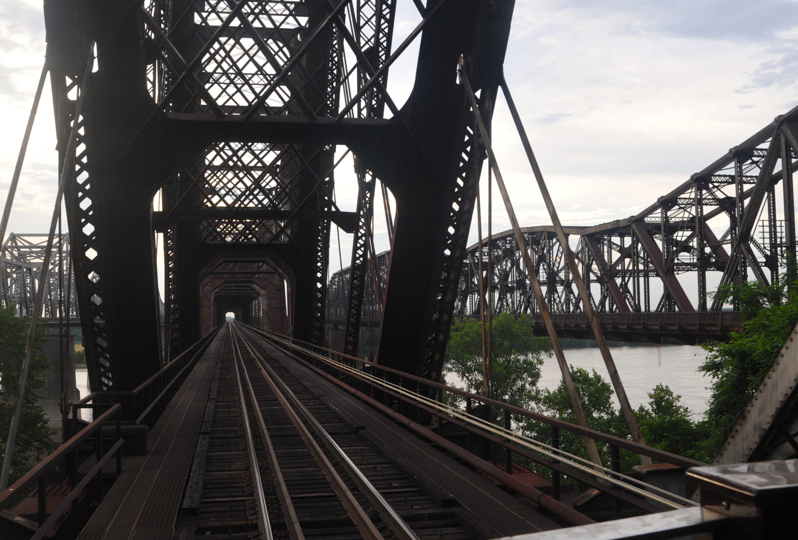
| Soon we joined BNSF’s Thayer South Sub that we’d use the next day, at River Jct., Ark., at 5:23, and after delays caused by train congestion at Harvard (5:39–6:45) and Critco (6:45–6:50), crossed the UP (MoPac) main line off its Mississippi River bridge at Bridge Jct. at 6:57 and entered the Harahan Bridge (named for an Illinois Central official even tho IC trains never crossed the river here). Frisco’s Harahan bridge was built first, MoPac’s next, and the latter was also used by Rock Island and Cotton Belt. A highway bridge is just to the south. |
 |
 |
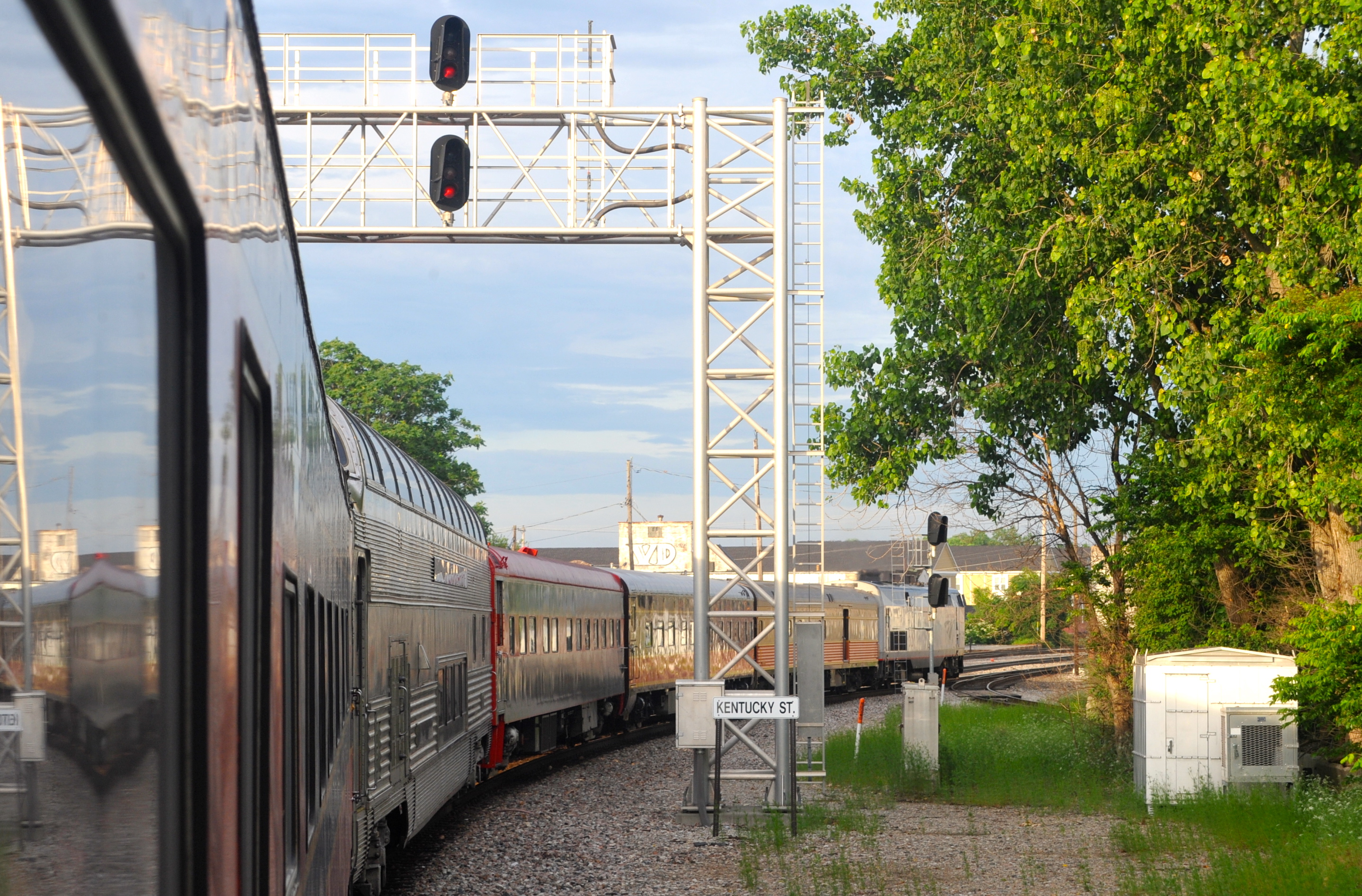
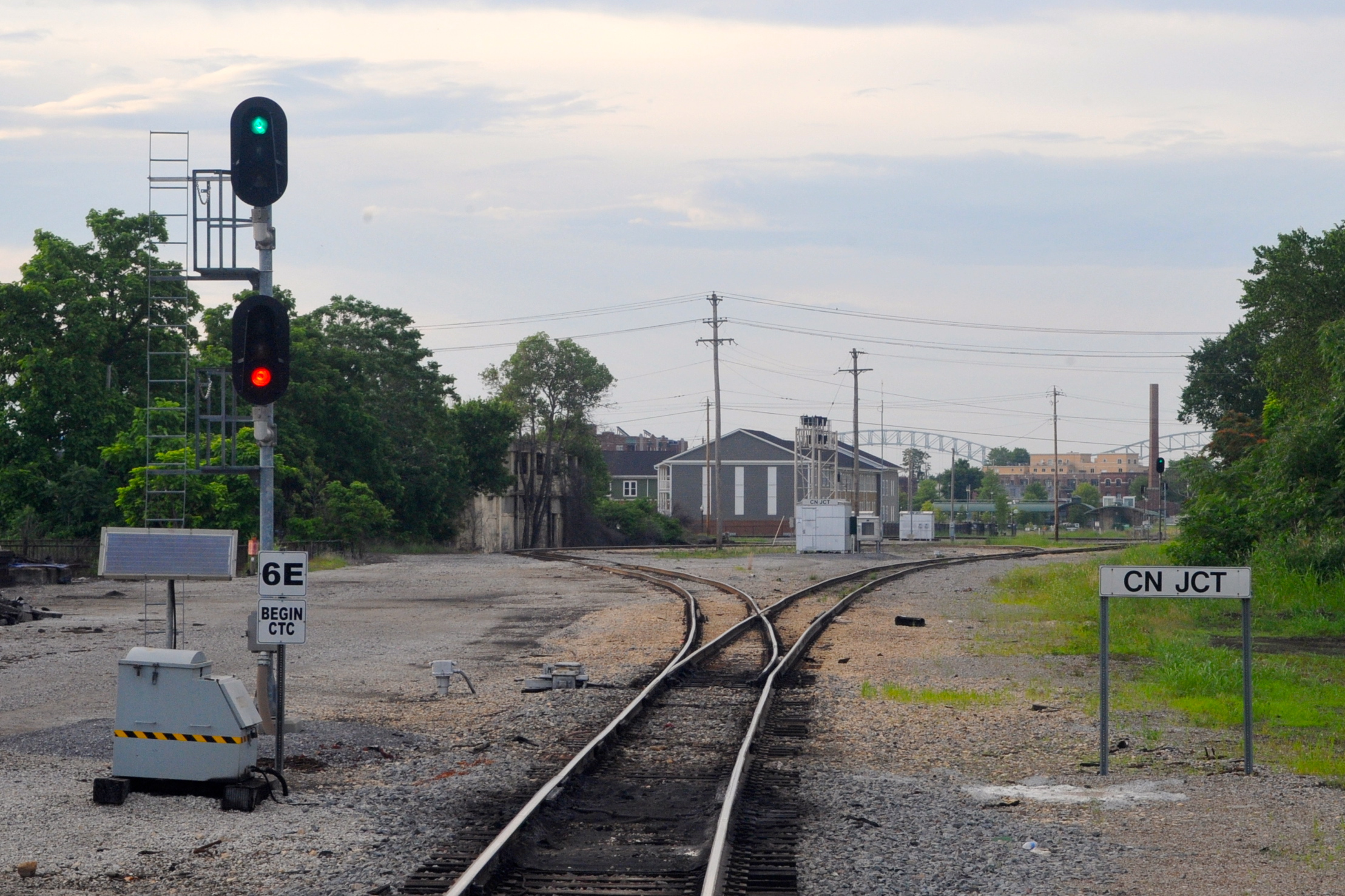
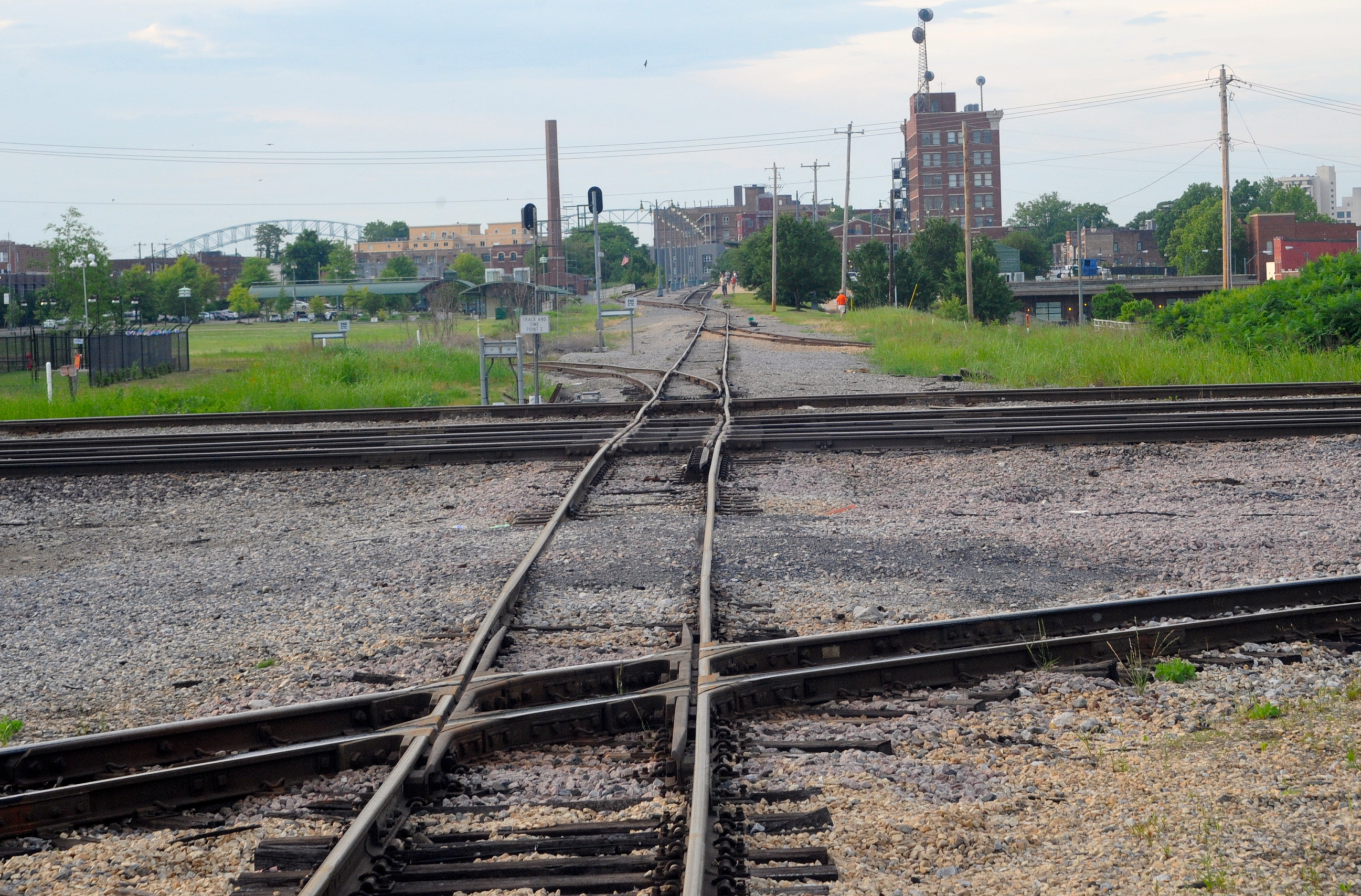
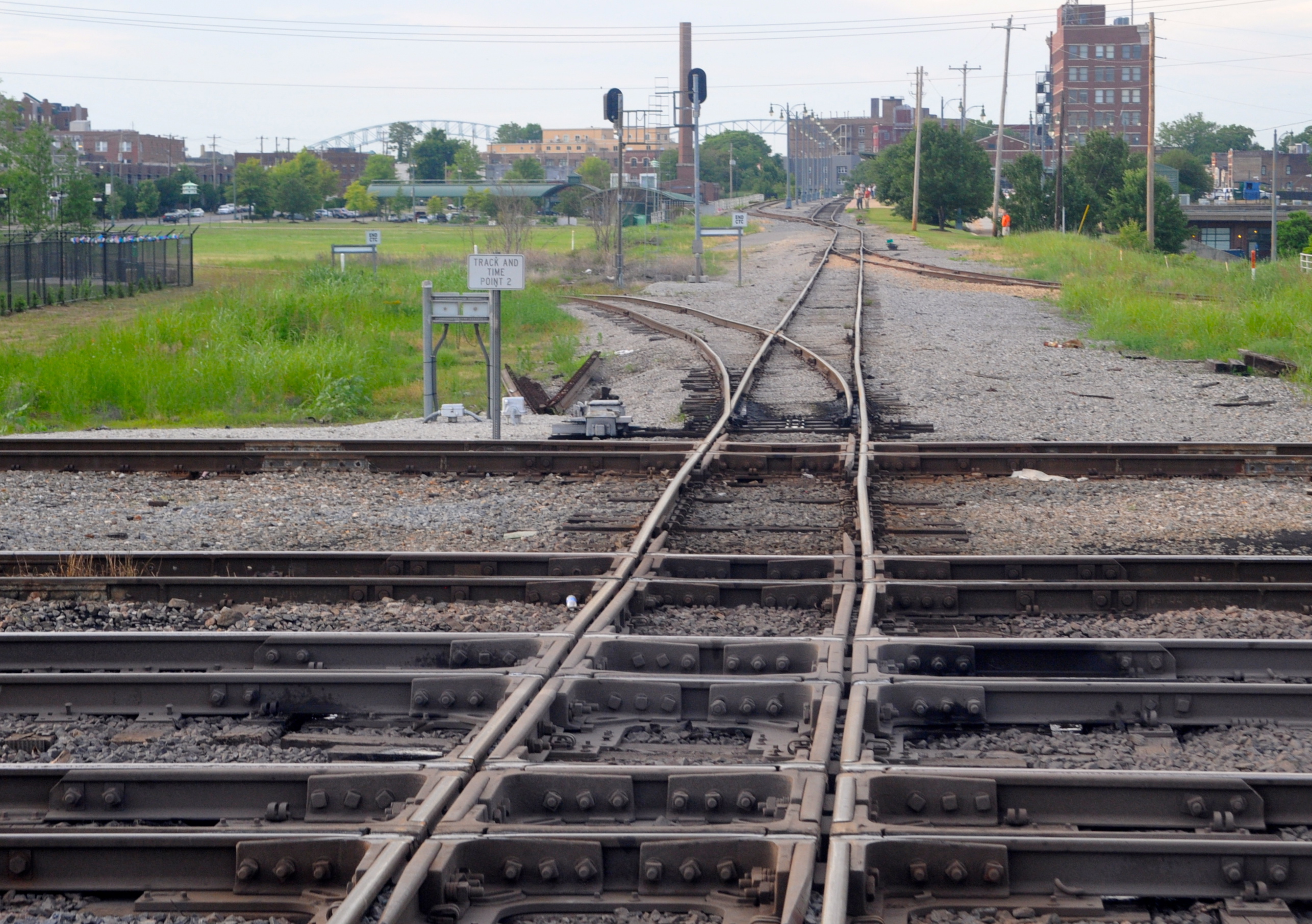
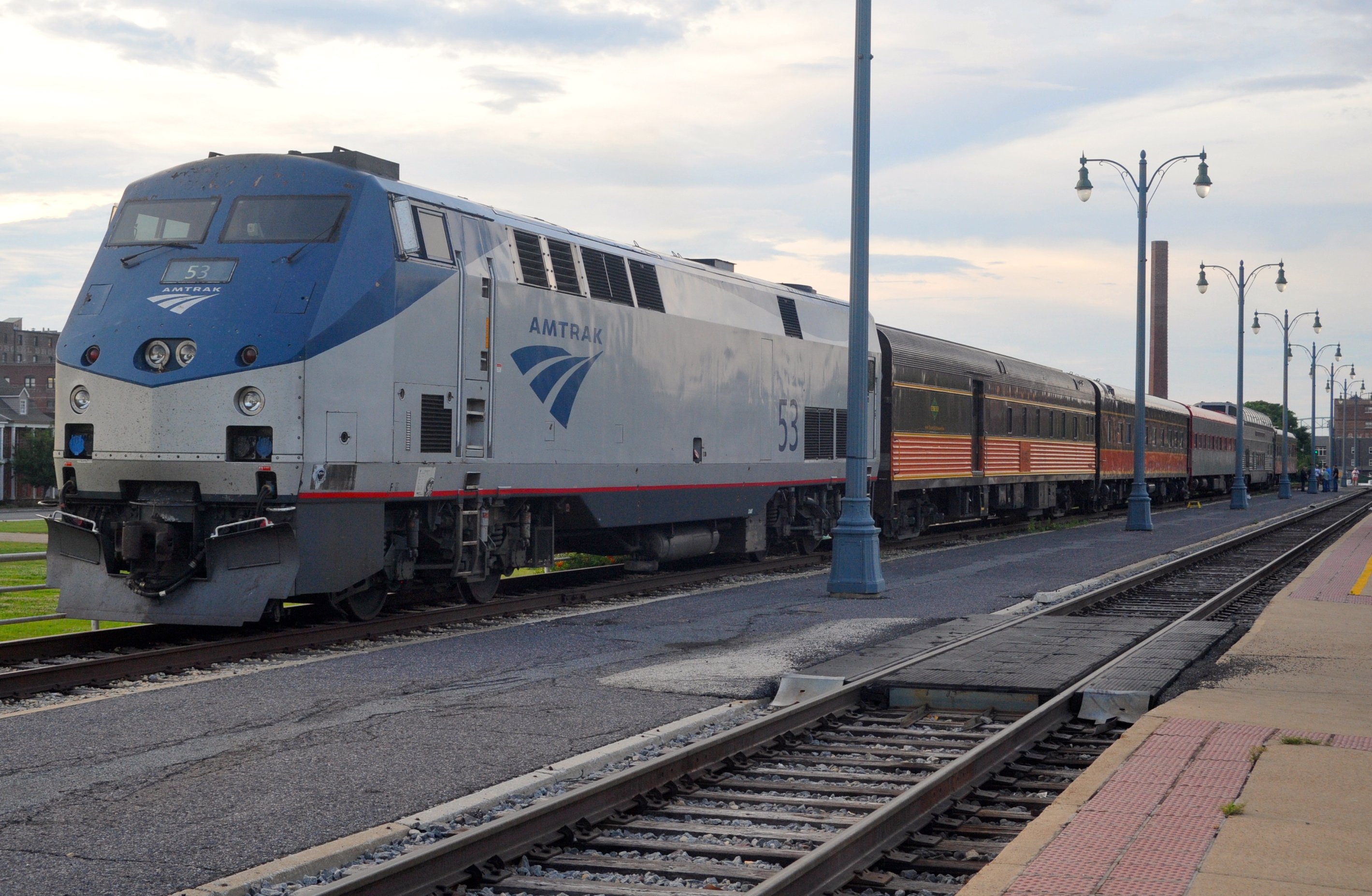
| After halting at the Kentucky St. interlocking from 7:04 to 7:12 to pick up a CN pilot, we curved around south onto the CN (IC) passenger line to CN Junction, halting from 7:17 to 7:23, then backed up onto Central Station’s outer track to tie up for the night at 7:28. I soon disembarked into a much more warm and humid evening than we’d had in St. Louis to make my only front-end photos of the trip, depicting Amtrak engine 53. You’ll notice how “crooked” the single CN “passenger main” is in crossing the multiple east-west tracks of BNSF and UP are. The tall building at far right is Central Station, whose ground floor has a museum and 2nd floor, at track level, has parking lots and inside, Amtrak’s ticket office and waiting room. The upper floors are apartments. Thirty-some years ago Central Station was a pit, the worst big-city station on Amtrak’s network. Today it is all rehabbed and in fine shape, something of which the city (and Amtrak) can be proud. I was almost asleep when the northbound City of New Orleans arrived sometime after 10 p.m. |
 |
 |
 |
 |
 |
 |
 |
This page was designed and is maintained by Mike Condren. If you have materials
that you would like to contribute, contact me at mcondren@cbu.edu