 |
Contributed by H.E.Huber |
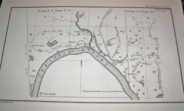
1861 Map of Van Buren |
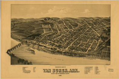 |
Perspective map of Van Buren, Ark. county seat of Crawford County 1888 H. Wellge, sk. Beck & Pauli Lith. Co. |
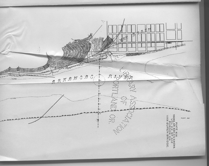 |
Contributed by John Dill |
| I think this map answers the questions about where the rail ferry crossed (and it only seems to show one). It was west of the Frisco bridge. The steamboat landing is just east of the bridge. This is in keeping with later maps showing the MoPac track parallel to but west of the Frisco track as they both moved north in Fort Smith toward the bridge. |
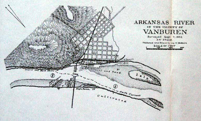 |
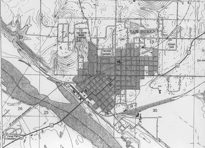
1892 Van Buren Map |
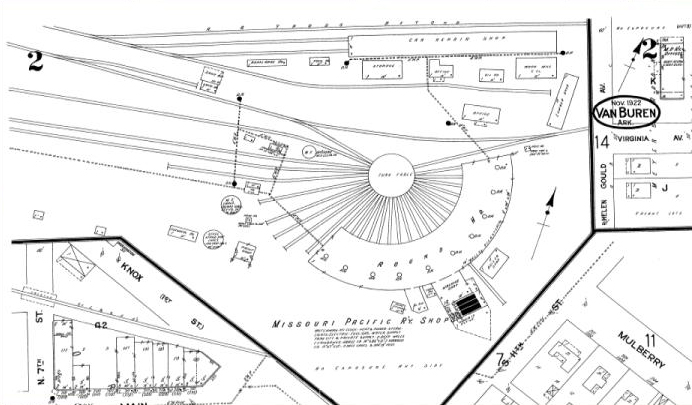 |
Nov. 1922 Sanborn Map Company maps of Van Buren
 |
Contributed by John Dill |
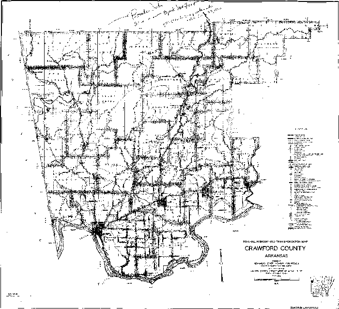 |
Map of Crawford County |
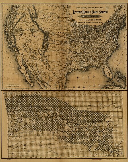 |
Map of Little Rock & Ft. Smith Railroad |
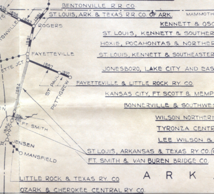 |
Contributed by John Dill |
I looked this up on my "official" Frisco map. (Unfortunately it's rounded to the nearest year). Per this map, that was apparently the enity the Frisco used to build some or all of that section. In that case, Fishback may have just been acting as an agent (publicly or otherwise) for the Frisco at the time. The "Mansfield Branch" of the Frisco (Jensen to Mansfield, 1886) was built as the Little Rock & Texas Ry Co. |
This site is maintained by the Arkansas Boston Mountains Chapter of the National Railway Historical Society located in Springdale, Arkansas


Home of THE ARKANSAS SCRAMBLER
For questions, email arkyrail at outlook.com